Image

MINNEAPOLIS–ST. PAUL, Minn. (July 23, 2025) — The heat is on in Minnesota, and it’s not letting up. The National Weather Service has issued ongoing heat advisories and thunderstorm watches for much of the Twin Cities metro and surrounding regions as dangerous heat and scattered strong storms persist across the state.
Heat Advisory in Effect
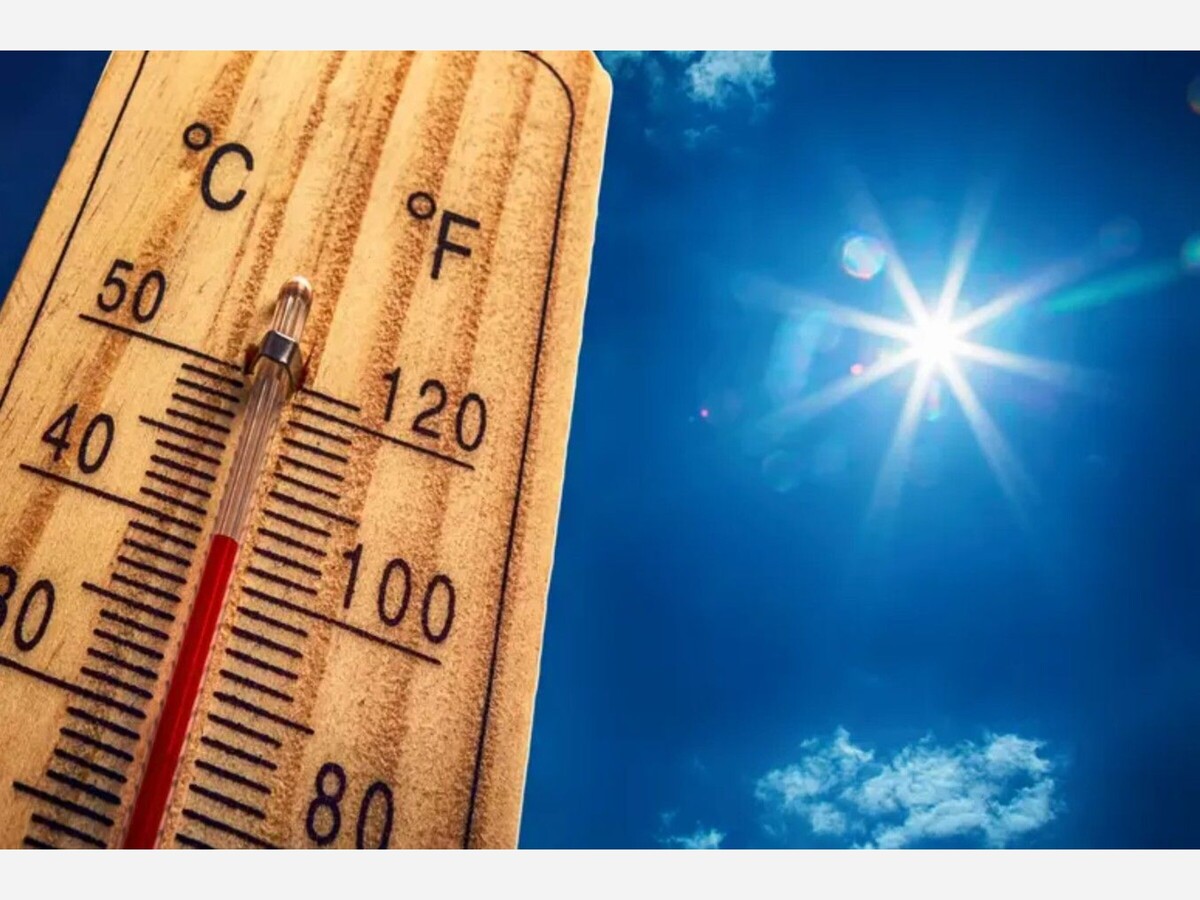
A Heat Advisory remains in effect through Wednesday evening, with temperatures soaring into the upper 90s and heat index values pushing past 105°F in some areas. The high humidity and prolonged exposure to these conditions are increasing the risk of heat-related illnesses, especially for vulnerable populations such as the elderly, young children, and individuals with chronic health conditions.
Residents are urged to:
Cooling centers remain open in several metro locations, including city libraries, recreation centers, and designated emergency shelters. A full list of cooling centers is available on local government websites.
Storm Threat Lingers
In addition to the oppressive heat, scattered strong to severe thunderstorms are expected to continue rolling through parts of central and southern Minnesota through Wednesday night. The NWS warns that the main threats include:
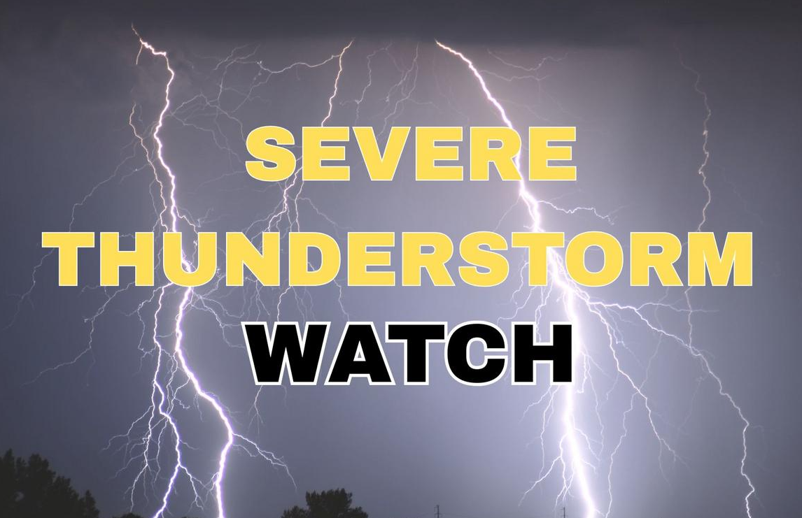
A Severe Thunderstorm Watch is currently in effect for Anoka, Hennepin, Ramsey, and surrounding counties until 10 PM tonight. Some cells may become severe with little warning. Residents are encouraged to monitor local forecasts and have weather alerts enabled on their mobile devices.
Power Outages and Travel Delays
As of this afternoon, Xcel Energy reported over 6,000 customers without power across portions of the northwest metro due to earlier storms that downed trees and utility lines. Crews are actively working to restore service, but restoration may take several hours in harder-hit neighborhoods.
Motorists should also be cautious of slick roads, ponding, and reduced visibility during storm bursts. The Minnesota Department of Transportation (MnDOT) advises travelers to reduce speeds and allow extra time for evening commutes.
Looking Ahead
According to the NWS Twin Cities office, the extreme heat is expected to ease slightly by Thursday, with highs dipping into the upper 80s. However, another round of thunderstorms could return by Friday into the weekend as a cold front moves in from the west, potentially bringing more severe weather and temporary relief from the heat.
MinneapoliMedia will continue to monitor the situation and provide timely updates. For the latest forecast and safety alerts, visit weather.gov or tune into your local weather station.


Moderate rain, with a high of 67 and low of 61 degrees. Don't forget your umbrella! Thundery outbreaks in nearby in the morning, fog in the afternoon and evening, thundery outbreaks in nearby overnight.