Image


Minneapolis–St. Paul, MN — July 23, 2025
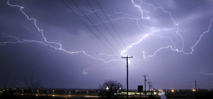
A powerful wave of thunderstorms swept across the Twin Cities metro Wednesday afternoon, unleashing rainfall rates of up to two inches per hour and prompting a flash flood warning for Anoka and Hennepin counties. The National Weather Service (NWS) issued the alert at 1:15 p.m. CDT as radar indicated rapid accumulation of 1–2 inches of rain, with an additional 1–3 inches possible in the affected areas.
Flash Flood Impact Zones

The warning, which has since expired, covered several north metro communities including:
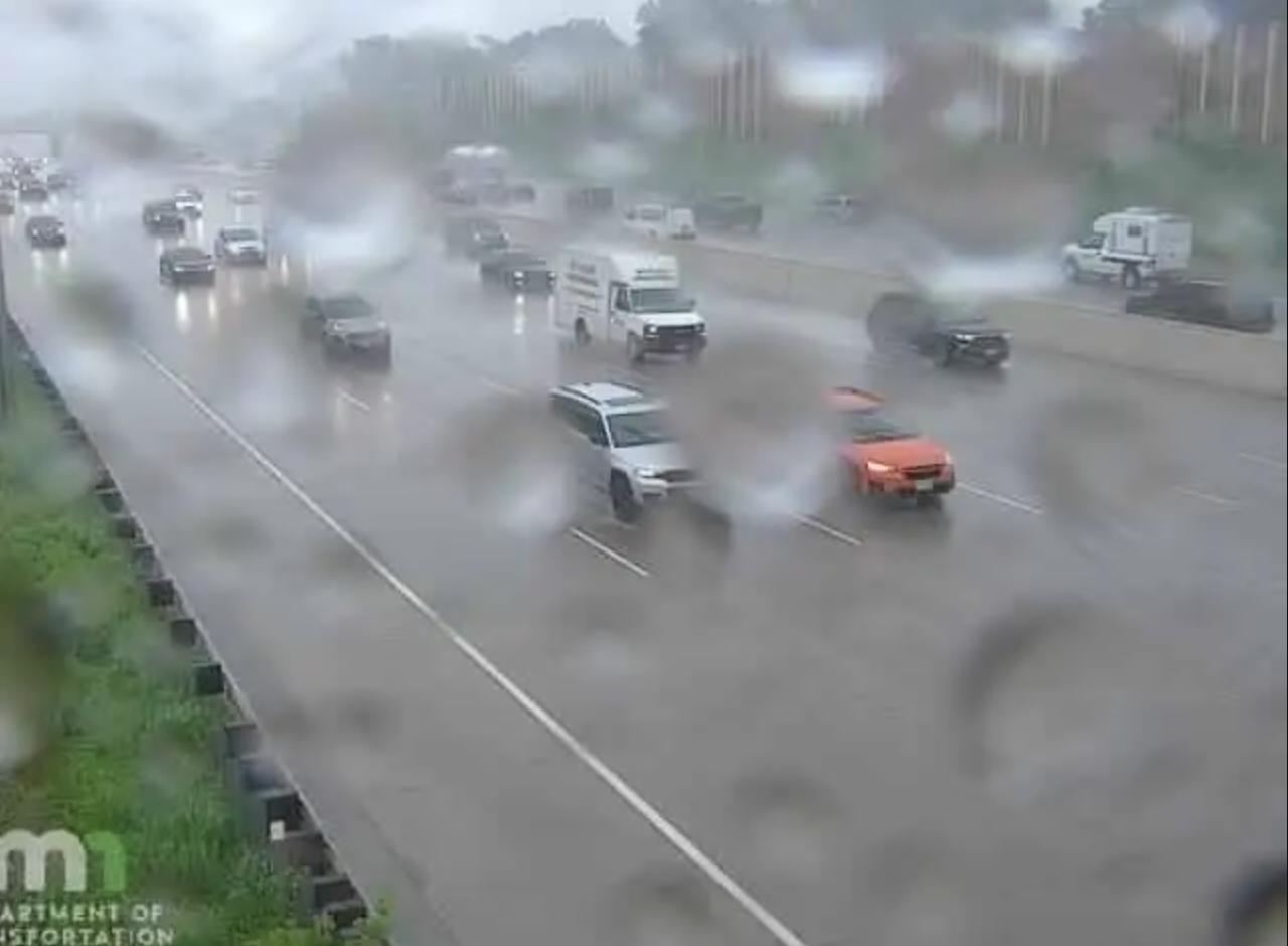
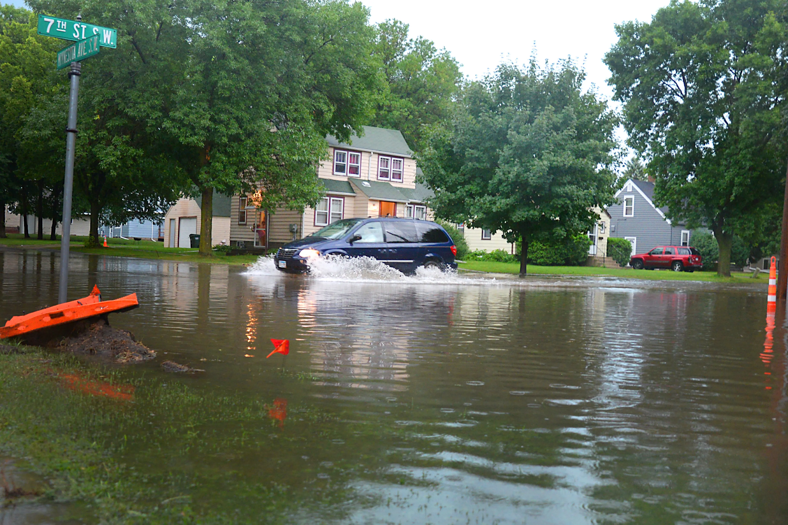
Residents reported ponding on roadways, overwhelmed storm drains, and localized urban flooding. The NWS cautioned that the saturated atmosphere was “juiced with moisture,” fueling the intense rainfall.
Power Outages and Infrastructure Disruption
The storms knocked out electricity to approximately 3,700 households across the metro, according to Xcel Energy. Utility crews were dispatched to restore service as conditions allowed.
Aquatennial Parade Canceled
The Minneapolis Aquatennial Torchlight Parade, a hallmark of the city’s summer festivities, was canceled due to the severe weather threat. Organizers cited concerns over thunderstorms, strong winds, and flash flooding, emphasizing public safety as the top priority.
Ely Underwater
In Ely, northern Minnesota, flash flooding reached dramatic levels. Streets were inundated with 6–12 inches of standing water, and residents were seen canoeing through downtown as rainfall totals exceeded 4 inches since Tuesday.
Severe Weather Outlook
While the immediate flash flood threat in the Twin Cities has diminished, meteorologists warn that severe storms may redevelop between 4 p.m. and midnight, particularly in southeast Minnesota near the Interstate 90 corridor. The HRRR model radar simulation shows potential for explosive storm activity in south-central Minnesota through early Thursday.


Partly Cloudy , with a high of 66 and low of 42 degrees. Mist in the morning, sunny during the afternoon, clear for the evening, partly cloudy overnight.