Image
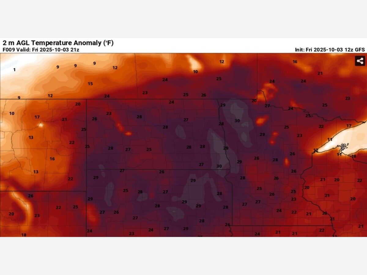

MINNEAPOLIS–ST. PAUL, MN — The Twin Cities metro baked under extraordinary autumn heat on Saturday, October 4, 2025, as temperatures soared to 91°F at the Minneapolis–St. Paul International Airport (MSP), breaking a century-old daily record and ranking as the second-hottest October day ever recorded in the region’s 152-year climate history.
The new record shattered the previous high of 89°F, set on October 4, 1922. The only warmer October day on record remains October 1, 2023, when MSP reached 92°F. Suburbs across the metro, including Coon Rapids, reported similar highs around 90–91°F, as unseasonably warm air blanketed much of central Minnesota.

Meteorologists at the National Weather Service Twin Cities attributed the rare heat to strong southerly winds ahead of an approaching cold front, which funneled hot, humid air into the region and pushed readings roughly 20 to 25 degrees above the typical early October high of 65°F.
Adding to the weather anomaly, Saturday’s morning low of 72°F tied the all-time warmest overnight low ever recorded in October for the Twin Cities — a record previously unmatched in more than a century of data.
“This is exceptionally rare for October,” forecasters noted, emphasizing that such heat typically occurs in late summer, not deep into the fall season.
The unusual warmth comes amid a broader trend of record-breaking temperatures across North America, with meteorologists linking the persistent pattern to a strong ridge of high pressure and large-scale atmospheric shifts related to Pacific Ocean anomalies. While experts caution that individual weather events don’t alone prove long-term climate trends, the timing and intensity of this October heat underscore the growing variability in Midwest seasonal patterns.
Relief, however, is on the way. A cold front moving in from the northwest is expected to bring cooler, more seasonal temperatures in the days ahead — marking a swift end to what will be remembered as one of the Twin Cities’ hottest October days on record.


Sunny, with a high of 61 and low of 40 degrees. Sunny during the morning, clear overnight.