Image
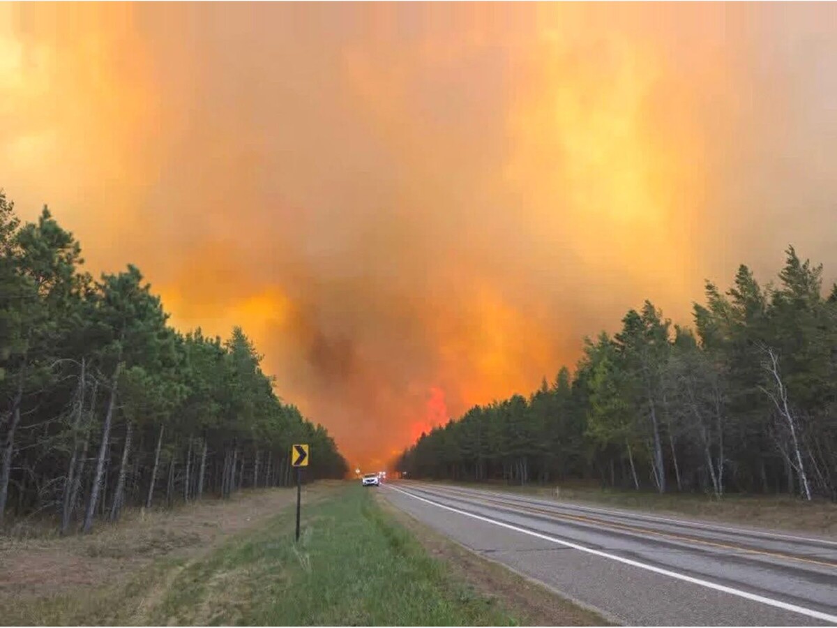



The July Lightning Incident had 1,042 personnel assigned as of Sunday, according to an update from the Superior National Forest and Minnesota Incident Command System.
Warmer temperatures and humidity falling to approximately 30 percent caused an increase in fire behavior Saturday, including isolated trees becoming fully engulfed.
Winds were expected to shift from the south and southeast and strengthen into Monday, with gusts potentially reaching 30 mph.
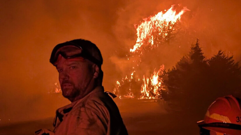
Fire managers said the wind could increase fire activity and smoke by moving flames toward unburned vegetation. Ground moisture was expected to limit some potential spread and reduce the likelihood of new spot fires caused by wind-carried embers.
The Camp Fire, approximately five miles north of Winton, was listed at 4,357 acres and 69 percent contained.
The Sioux Fire, north of the Echo Trail and east of Jeanette Campground, had reached 12,709 acres and was 42 percent contained.
The Little Knife Fire, which began in Ontario and crossed into the United States on July 15, remained at approximately 4,958 acres and was 85 percent contained.
The Bear Trap and Dark fires had burned a combined 37,885 acres in the United States and Canada. Approximately 29,778 acres were on the U.S. side, with the fires listed at 39 percent containment.
The Thumb Fire had burned approximately 17,327 acres across the international boundary, including 16,981 acres in the United States. It was listed at 57 percent containment.
The Chub Fire, southwest of Crane Lake, was 96 percent contained after burning 424 acres.
A small lightning-caused fire near Finstad Lake was detected Saturday and was being managed with aerial suppression.
Evacuation and closure conditions continue to change as crews make progress. Residents and property owners should consult county evacuation maps rather than relying on older notices.
Echo Trail remains closed daily from 9:30 a.m. to 7 p.m. between North Arm Road and Forest Road 200.
Parts of Superior National Forest have reopened, but visitors entering recently reopened sections of the Boundary Waters Canoe Area Wilderness are being advised to remain self-sufficient, monitor weather and carry multiple forms of communication.
Officials are also asking the public not to fly drones near the fires and to keep boats away from waters being used by firefighting aircraft.
The complete August 2 operational update is available through Boreal Community Media, which published information provided by Superior National Forest and the Minnesota Incident Command System.
Local stories matter. Subscribe free to MinneapoliMedia and receive independent news, community reporting and important updates from Minneapolis, the North Metro and communities across Minnesota.
MinneapoliMedia | Community. Culture. Civic Life



Sunny, with a high of 85 and low of 49 degrees. Sunny in the morning, overcast in the afternoon and evening, clear overnight.