Coon Rapids, MN– November 25, 2025
Minnesota is bracing for its first significant snowstorm of the season, with hazardous conditions expected just ahead of the Thanksgiving holiday. The National Weather Service (NWS) and local meteorologists are advising residents to prepare for accumulating snow, gusty winds, and sharply colder temperatures.
Alerts & Timing
- Winter Storm Watch: Central and northern Minnesota are under a Winter Storm Watch from Tuesday morning through Wednesday noon, signaling the potential for a major winter storm.
- Winter Weather Advisory: The Twin Cities metro area has a localized advisory from 6:00 p.m. CST Tuesday through 12:00 p.m. CST Wednesday, with 1–2 inches of snow expected and gusty winds.
- NEXT Weather Alerts: WCCO meteorologists have issued NEXT Weather Alerts for both Tuesday and Wednesday, highlighting hazardous conditions and travel impacts.
The storm is expected to impact Minnesota beginning Tuesday, November 25, continuing into Wednesday, November 26, with a two-wave system bringing different precipitation types and impacts.
Two-Wave Storm Forecast
Wave 1 – Monday evening into Tuesday morning:
- Timing: Late Monday evening through Tuesday morning
- Precipitation: Primarily rain across southern and central Minnesota, including the Twin Cities
- Impact: Low; mild temperatures prevent early snow accumulation in the metro area
Wave 2 – Tuesday afternoon through Wednesday:
- Timing: Tuesday morning, transitioning into Tuesday evening and Wednesday
- Precipitation: Starts as rain in the Twin Cities and southern Minnesota, switching to snow as strong northwest winds move in and temperatures drop into the low 30s by Wednesday
- Accumulation: Twin Cities may see 1–2 inches of snow by Wednesday morning
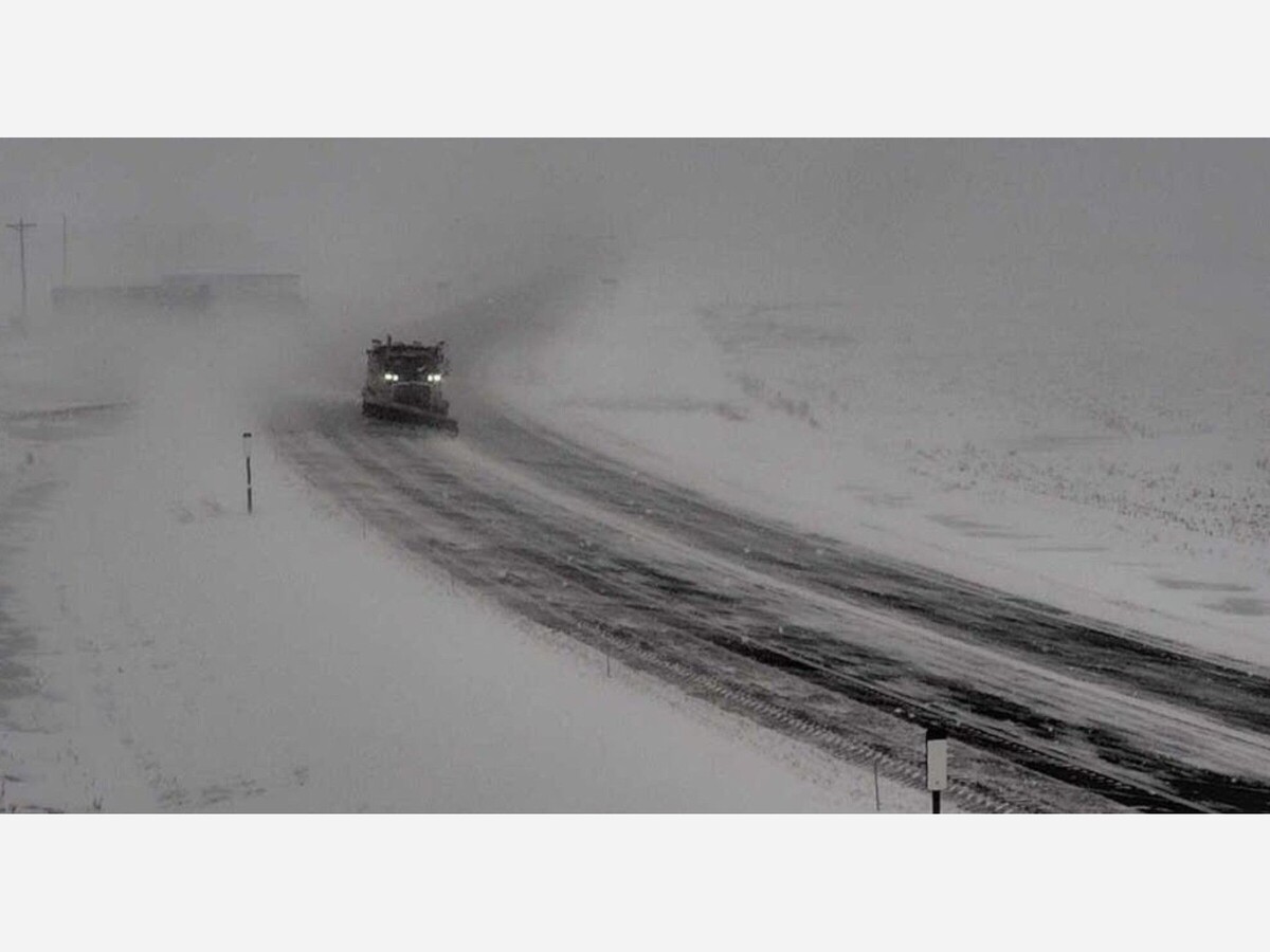
- Heaviest Snowfall: North of Brainerd and the Arrowhead region could see 5–8 inches; central Minnesota areas like Blaine and Forest Lake may see 3–5 inches
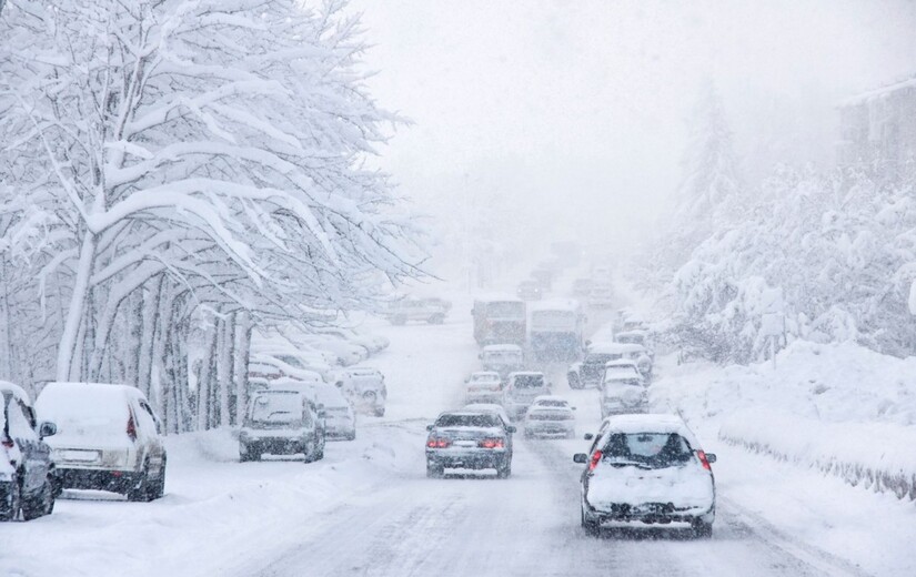
- Hazardous Conditions: Wind gusts of 30–40 mph could create blowing snow, low visibility, and difficult travel, especially Wednesday morning
Temperature Drop & Travel Concerns
The storm brings a dramatic temperature shift. After highs in the 40s and 50s on Monday, temperatures will struggle into the low 30s on Wednesday, with highs remaining in the 20s for Thanksgiving Day. Combined with accumulating snow and strong winds, the storm poses significant risks for holiday travelers.
Residents are advised to:
- Monitor local forecasts and road conditions for their county
- Allow extra travel time during Tuesday evening and Wednesday morning commutes
- Prepare for slippery roads due to the rain-to-snow transition
- Visit the Minnesota Department of Transportation 511 site for live updates
Bottom Line: Minnesota is entering its first widespread snow event of the season just ahead of Thanksgiving. The two-wave system will bring rain, then snow, strong winds, and a rapid temperature drop. Travelers, particularly in northern and central regions, should exercise caution and plan ahead for hazardous conditions.
MinneapoliMedia