Image

A fast-moving Alberta Clipper system pushed across Minnesota on Tuesday, December 9, 2025, delivering a familiar early winter punch that split the state into sharply different weather zones. Heavy snow accumulated quickly across central and northern counties, while the Twin Cities and southern Minnesota contended with a messy mix of snow, sleet, freezing rain and pockets of plain rain. The system created hazardous travel conditions, led to a surge in crashes and spinouts, disrupted air travel, and prompted early school dismissals across multiple districts.
Forecasters had highlighted a strikingly narrow boundary between heavy snow to the north and mixed precipitation to the south. That line aligned almost precisely with the Interstate 94 corridor.
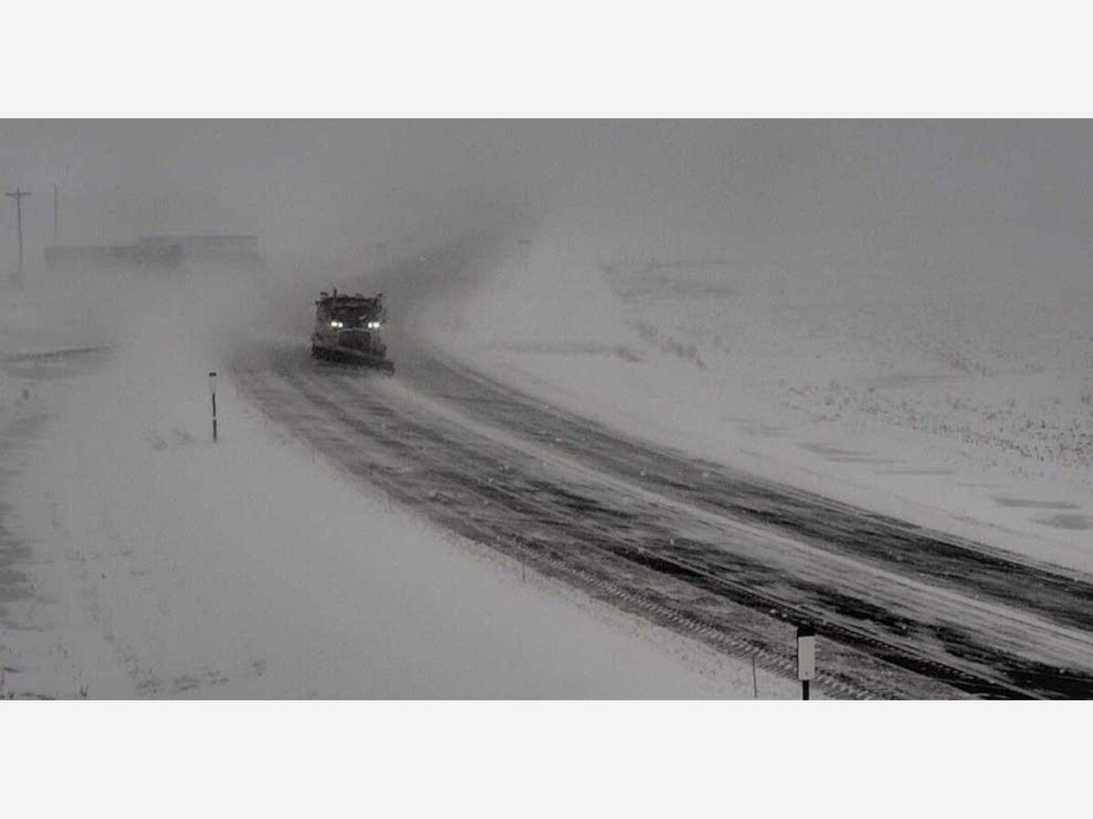
Communities north of I 94 found themselves firmly inside the storm's heavy snow band. Winter Storm Warnings stretched from central Minnesota into the Northland, where snowfall rates occasionally topped one inch per hour. Counties including Crow Wing, Cass, Aitkin and portions of northwest Minnesota recorded the highest totals. By Tuesday evening, preliminary snow reports showed 7.5 inches in Warren, 7.0 inches in Motley and widespread totals of 4 to 5 inches in cities such as Baxter, Brainerd and Hackensack. Forecast guidance projected these regions would reach 4 to 7 inches by early Wednesday, with localized areas exceeding that range where bands lingered.
Gusty winds added to the challenge. Central and northern Minnesota saw winds exceeding 35 miles per hour, creating pockets of blowing snow and occasional reductions in visibility.
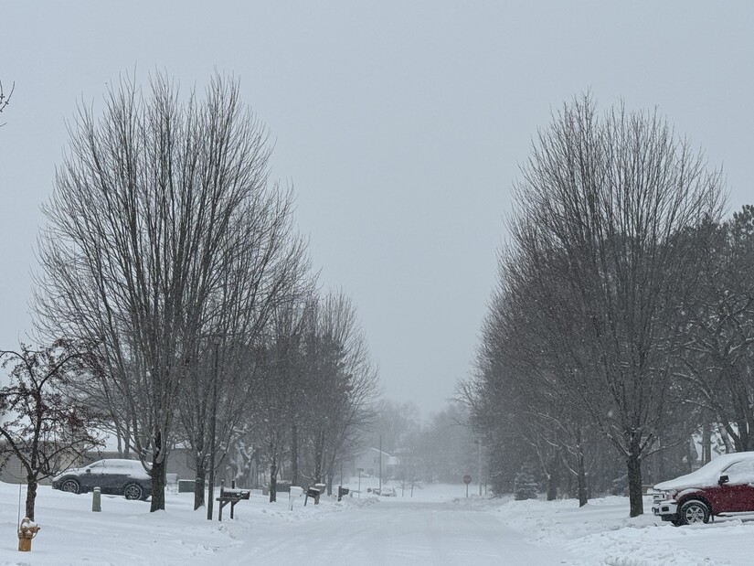
Farther south, including the Twin Cities metro, the storm arrived with a changing mix of snow, sleet and freezing rain that limited overall accumulation but created hazardous surfaces. Temperatures hovered near freezing through the afternoon, causing precipitation types to fluctuate and leading to a higher potential for ice formation on untreated roads.
A sharp gradient cut through the metro area. Northern suburbs in Anoka and Washington counties, included in the Winter Storm Warning, were forecast to receive 3 to 6 inches. Southern parts of the metro, where mixing was more persistent, were expected to see only 1 to 3 inches.
Southwestern Minnesota experienced primarily a wintry mix with light snow totals near one inch. Yet this region faced some of the most dangerous travel conditions in the state due to extremely strong winds that approached 50 to 55 miles per hour. Even minimal new snowfall created the potential for ground blizzard conditions in open areas.
The storm slowed travel across nearly every major transportation corridor in Minnesota. The Minnesota Department of Transportation reported widespread icy and snow-covered roads from midday through the evening. Spinouts and multi-vehicle crashes were reported from Alexandria to the northern Twin Cities suburbs. Many commuters described the evening drive as treacherous.
Air travelers were not spared. Minneapolis Saint Paul International Airport reported approximately 130 delays by early evening as crews worked to keep runways and taxiways clear while dealing with steady precipitation and gusty winds.
Officials encouraged residents to avoid unnecessary travel, monitor real-time road condition maps and allow extra time for both the Tuesday evening and Wednesday morning commutes. The expectation of a temperature drop overnight heightened concerns that slushy surfaces would quickly refreeze.
School districts across northern and central Minnesota announced early dismissals Tuesday before conditions deteriorated further. Districts in the northeast metro followed suit as snowfall intensified. Many of these same districts later declared late starts, e-learning days or full cancellations for Wednesday, December 10. Administrators cited concerns about poor visibility, drifting snow and the risk of icy roadways for morning bus routes.
As the storm exited the region, meteorologists warned of strong northwest winds overnight into Wednesday. Gusts of 40 to 50 miles per hour were expected to continue producing blowing and drifting snow, especially in rural areas with open terrain. The winter storm marked the beginning of a colder pattern, with temperatures forecast to fall into the teens and single digits later in the week. Wind chills were projected to dip well below zero by the weekend.
State and local agencies urged Minnesotans to prepare for several days of winter hazards. Residents were reminded to keep emergency kits in vehicles, stay updated with National Weather Service alerts and exercise caution on all roadways as crews worked through the night to clear snow and ice.


Patchy rain nearby, with a high of 92 and low of 64 degrees. Don't forget your umbrella! Sunny during the morning, clear during the afternoon and evening,