Image
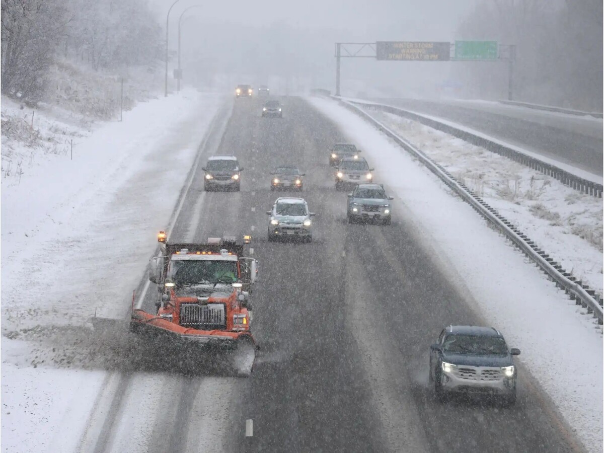

ANOKA COUNTY, Minn. (Dec. 28–29, 2025) - A powerful winter storm moving across Minnesota has created hazardous travel conditions across the north metro, including Anoka County, as residents return from holiday travel and plow crews work to keep roads passable.
According to the National Weather Service, Anoka County, including Coon Rapids, Blaine, Fridley, and Anoka, remains under a Winter Storm Warning through early Monday morning. Forecasters say the storm combines moderate to heavy snowfall with powerful winds capable of producing near zero visibility at times.
The National Weather Service reports widespread snowfall totals of 4 to 8 inches across the north metro, with localized pockets potentially reaching 10 to 12 inches where intense snow bands set up.
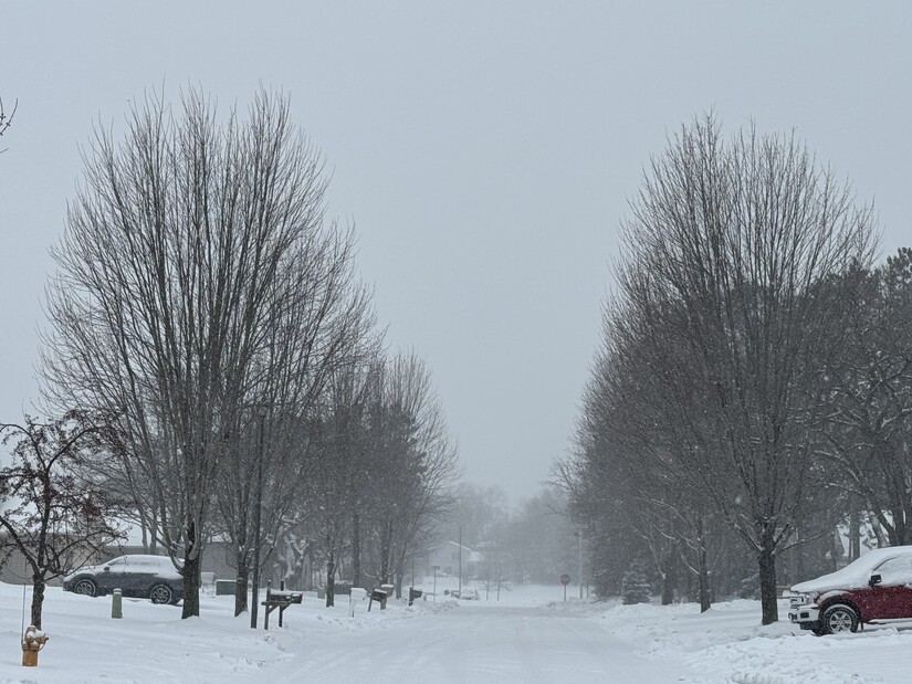
The heaviest snowfall fell Sunday afternoon and evening. Lighter snow is expected to taper overnight, but blowing and drifting snow are forecast to persist into the Monday morning commute, especially in exposed areas and on untreated roadways.
While snowfall totals are significant, forecasters emphasize that wind is the primary hazard with this system.
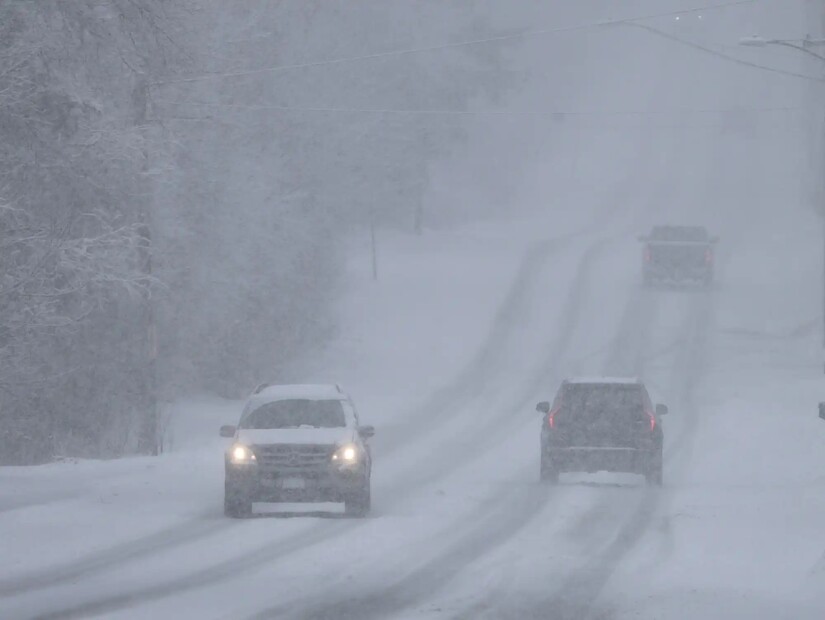
Northwest winds have been gusting between 40 and 55 miles per hour, lifting light, powdery snow into the air and rapidly reducing visibility. Whiteout conditions have been reported on north south highways and open stretches of road, particularly outside urban cores.
The National Weather Service warned that visibility could drop to near zero with little notice, creating conditions that are dangerous and in some locations potentially life threatening for motorists.
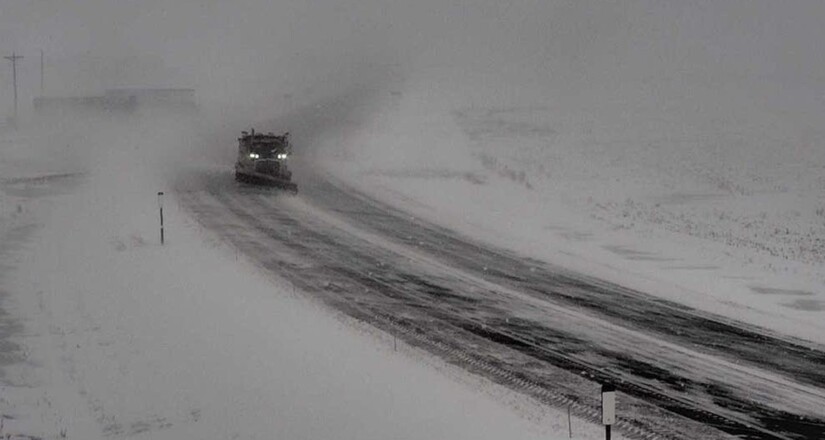
In southern and south central Minnesota, where the storm intensified into blizzard conditions, the Minnesota Department of Transportation issued multiple no travel advisories on Sunday.
A stretch of Interstate 35 in southern Minnesota was closed Sunday afternoon after multiple crashes and pileups between Owatonna and the Iowa border, underscoring the severity of conditions outside the metro area.
The Minnesota State Patrol reported a surge in weather related incidents as the storm intensified.
Between midnight and 1:30 p.m. Sunday, troopers responded statewide to:
Authorities continue to urge drivers to delay travel if possible and to slow down significantly when travel cannot be avoided.
To support plowing operations, multiple Twin Cities communities declared snow emergencies Sunday evening, triggering parking restrictions designed to allow curb to curb clearing.
Cities with active snow emergencies include:
Additional cities participating in snow emergency declarations include Brooklyn Park, Eden Prairie, Hopkins, and West St. Paul.
Residents are strongly encouraged to check their city’s official website or snow emergency map before parking overnight, as rules and enforcement times vary by municipality.
The National Weather Service cautions that hazardous conditions may linger even after snowfall ends, as drifting snow, reduced visibility, and icy patches remain on secondary roads and ramps.
Motorists are advised to carry winter emergency supplies, allow extra travel time, and monitor real time road conditions through Minnesota 511 and local government alerts.
While the warning is expected to expire Monday morning, officials stress that winter storms of this nature often leave behind impacts that last well beyond the final snowflake.


Patchy rain nearby, with a high of 73 and low of 48 degrees. Don't forget your umbrella! Patchy rain nearby in the morning, clear overnight.