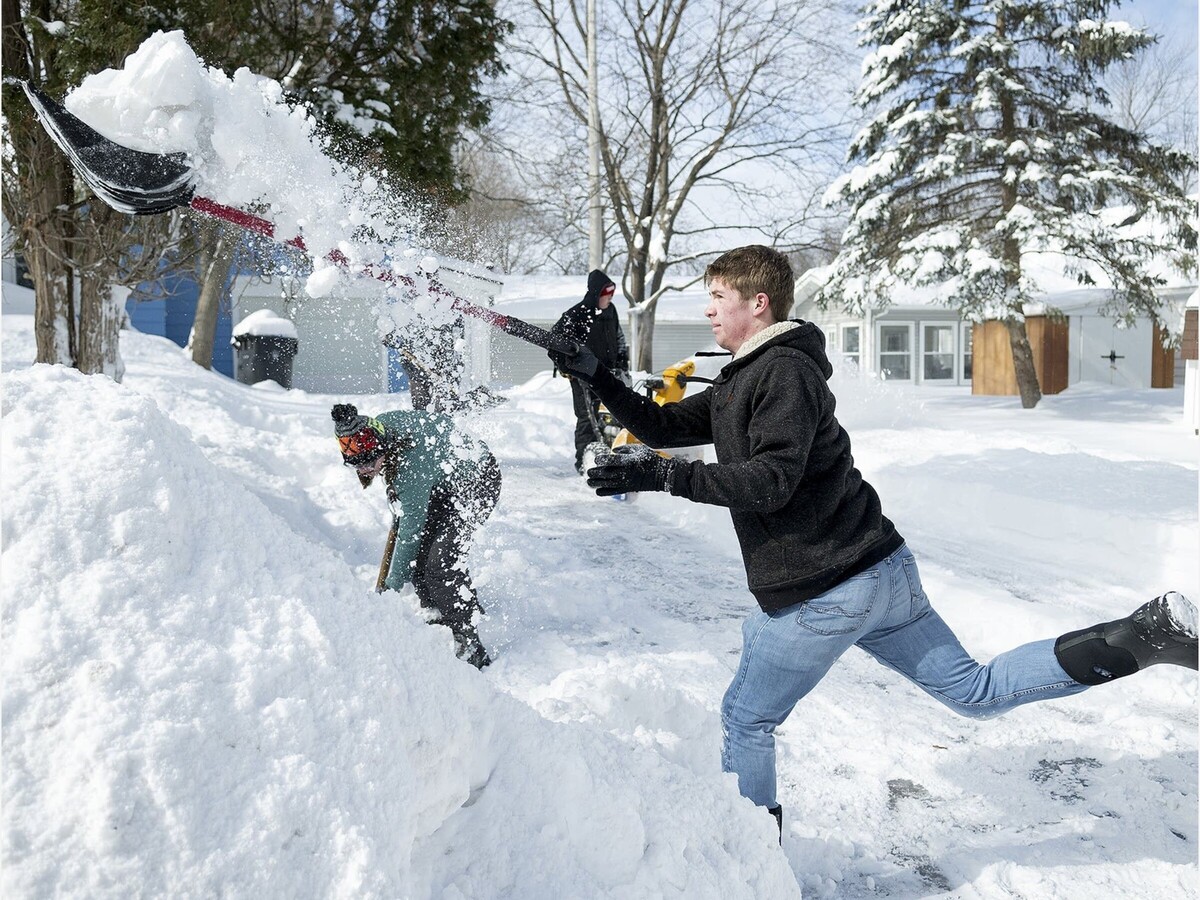
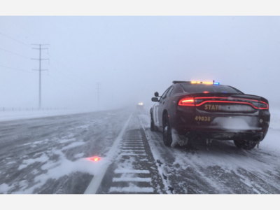
Minnesota received a shot of snow on Thursday that's been all-too-rare this past cold season, although it's merely an appetizer for a much bigger storm coming this Sunday.
Topping out for Thursday's storm was Shafer, which received 8.1 inches of snow, with the area just to the north of the Twin Cities running west to St. Cloud seeing the highest amounts.
The most common amount was 4 inches, which was the highest recorded depth in a number of metro cities, including Minneapolis.
Here's a look at the latest snowfall reports:
- 8.1 inches: Shafer
- 8 inches: Clear Lake, Luxemburg, Bradford
- 7.5 inches: Chisago City, St. Francis, Zimmerman
- 7.4 inches: Stacy
- 6.5 inches: East Bethel
- 6.4 inches: Nowthen
- 6.2 inches: Oak Grove, Orrock, Big Lake
- 6 inches: Kimball
- 5.9 inches: Otsego
- 5.5 inches: Ham Lake, Buffalo, Anoka
- 5.4 inches: Maple Lake
- 5.3 inches: St. Cloud, Marine-on-St. Croix
- 5 inches: Ramsey, Hastings
- 4.8 inches: Albertville
- 4.2 inches: Maple Grove, Champlin, Osakis
- 4.1 inches: Golden Valley, Maple Plain
- 4 inches: Forest Lake, Brooklyn Center, Brooklyn Park, Coon Rapids, Roseville, Minneapolis, Long Lake, Garfield, Alexandria, St. Joseph, Melrose.
- 3.9 inches: Hugo.
- 3.8 inches: North Branch, Grant, Rochester
- 3.7 inches: Independence, St. Paul Park
- 3.6 inches: Shoreview
- 3.5 inches: White Bear Lake, Stillwater, Potsdam, Rosemount, Eagan, St. Stephen
- 3.3 inches: Northfield
- 3.2 inches: Falcon Heights, Douglas, Richfield, Cottage Grove
- 3.1 inches: Prinsburg
- 3 inches: Dellwood, Watertown, Excelsior, Woodbury, Lakeville
- 2.9 inches: Bloomington
- 2.8 inches: Mabel, Elba, Viola, Genoa, Savage
SOURCE: Bring Me The News