Image

MINNEAPOLIS, MN
Jan. 26, 2026 — As one of the most expansive winter storms in recent North American history began to withdraw into the Atlantic on Monday, meteorologists turned their attention to what would follow. The answer was not relief, but transition: a quieter, colder pattern marked by a gradual cooling trend and partly cloudy skies settling across much of the continent.
Forecasts issued on Jan. 26 showed temperatures easing downward beginning Tuesday as the massive low-pressure system responsible for days of heavy snow, high winds, and dangerous cold finally loosened its grip. In its wake, a more stable atmospheric regime emerged, one defined less by chaos than by persistence.
The departing system left behind extraordinary statistics and an unmistakable imprint on daily life. In the Greater Toronto Area, Toronto Pearson International Airport recorded 46 centimeters of snow on Jan. 25, the largest single-day snowfall in the city’s recorded history. With monthly totals surpassing 88 centimeters, January 2026 became the snowiest month ever measured in Toronto.
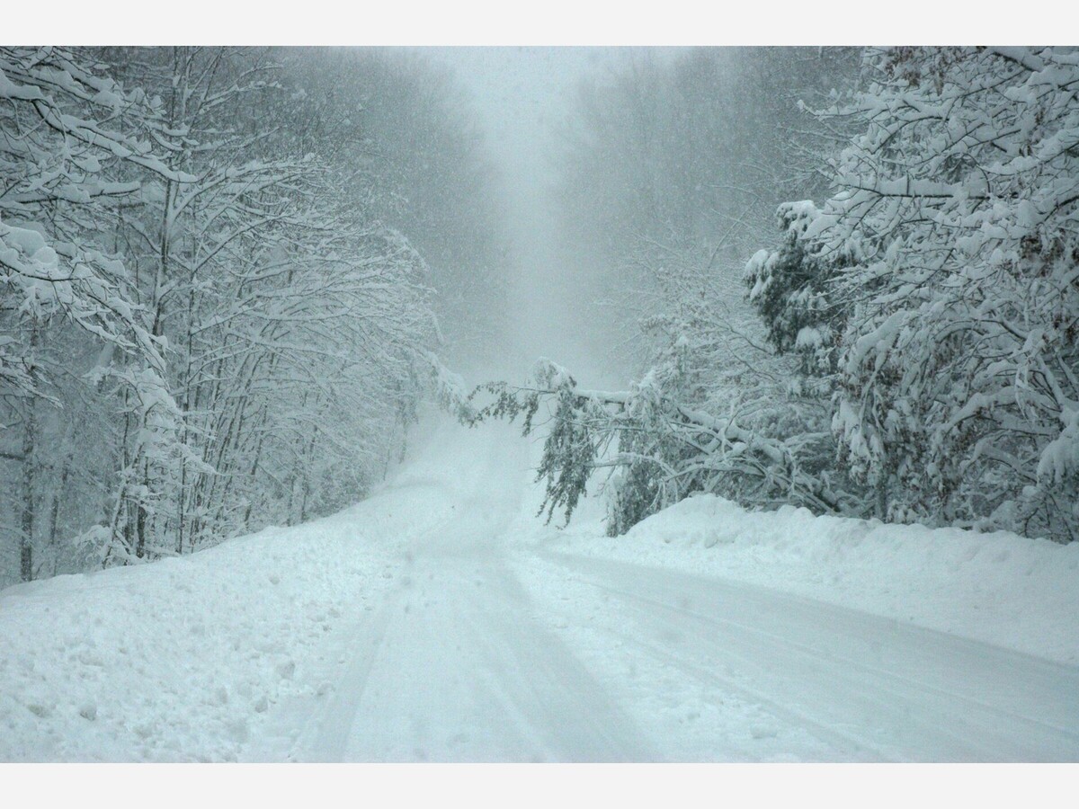
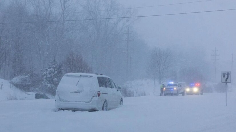
Across Canada and the northern United States, the storm stretched thousands of miles, disrupting transportation networks, straining power grids, and prompting widespread emergency declarations. Snowfall totals, ice accumulation, and prolonged exposure to extreme cold were compounded by wind chills that plunged well below zero, creating hazardous conditions even after precipitation tapered off.
By Monday afternoon, forecast models showed a decisive eastward movement of the storm’s core. Behind it, colder air remained firmly entrenched, but with fewer immediate threats. Meteorologists described the coming days as cold, stable, and largely uneventful by comparison.
Beginning Tuesday, much of the Upper Midwest and southern Canada was expected to experience partly cloudy skies, lighter winds, and temperatures holding below seasonal norms. In the Twin Cities, daytime highs were forecast to hover in the single digits, with overnight lows dipping below zero at times. While the cold would persist, significant snowfall appeared unlikely through most of the workweek.
The broader pattern is being driven by a disrupted polar vortex, a large-scale circulation of Arctic air that typically remains concentrated near the North Pole. This winter, that circulation weakened and shifted, allowing frigid air masses to spill southward across the central and eastern portions of the continent.
The result has been a prolonged period of cold punctuated by extreme weather events rather than a single isolated storm. Meteorologists note that this type of pattern favors extended cold snaps and intermittent light snow rather than rapid warming or large precipitation systems.
For now, forecasts suggest a continuation of cold but manageable conditions through late week, with only limited chances for flurries or light snow. While additional winter systems remain possible later in the season, there is no immediate signal of another storm on the scale of the one that just passed.
What remains is a quieter aftermath: snowbanks hardening under subzero nights, cities shifting from emergency response to recovery, and a winter that has already secured its place in the record books.
The storm may be gone, but its cold shadow lingers.


Sunny, with a high of 80 and low of 57 degrees. Sunny in the morning, clear overnight.